





Your opportunities on the international wind market
Register for free or log in to contact providers, use additional filters and tools or place your own advertisements.
- 19,456+ registered users
- About 187 Countries
- Since 2011


Smart digital data structures for your project development
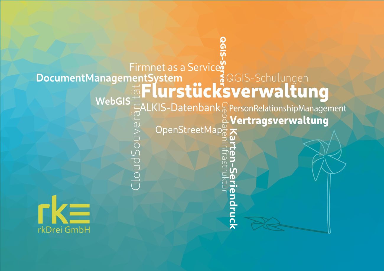
rkDrei operates at the interface between renewable energy project development, geoinformatics, databases and process digitalisation.
At the heart of it all is a “single point of truth”: parcels of land, owners, contracts, maps, PDF documents, GIS data, planning permission documents and other project information are centrally linked within a geodatabase.
This transforms scattered data into seamless workflows. Routine tasks can be reduced, simplified and accelerated. Information from maps, documents and analyses, as well as other processes, is reused directly.
The most prominent example of the expertise pooled at rkDrei is an online calculation tool for the impact assessment regulations in the state of Brandenburg – the so-called ‘Märkische Modell’. This tool generates GIS visibility analyses in a very short space of time. It can also be used, for example, to determine the monetary value of compensation for an old wind turbine that is not subject to dismantling.